Skip to content

New Orthophoto Comparison Map Tool Available Online

Compares Rockville, Then and Now

Ever wanted to see a side-by-side map comparison of how Rockville looked during two different periods? Now you can, with a new online “orthophoto” map tool, one of the city’s numerous geographic information system maps.

Orthophoto map image.
An orthophoto map shows a portion of Rockville Town Center from 2017 (left) and 1998 (right).

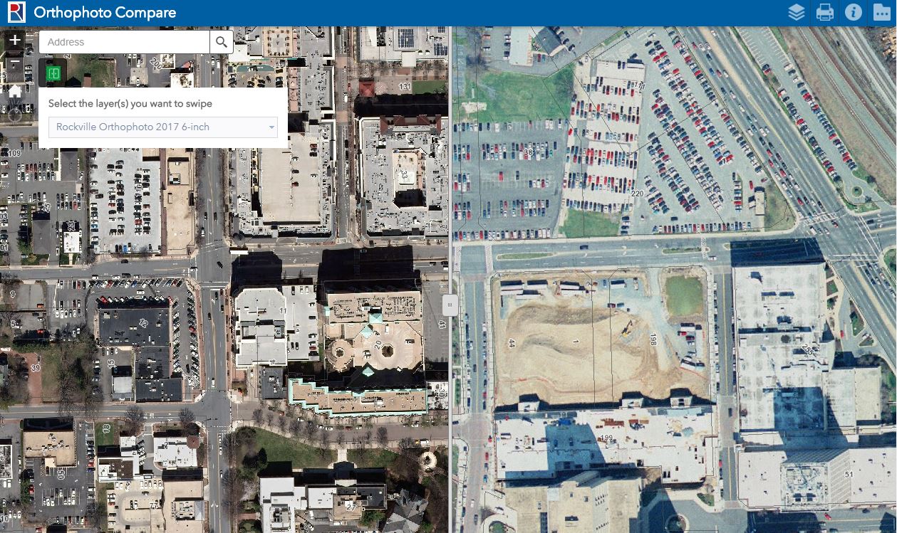
Orthophotos are aerial images of the earth, looking down from a uniform height, and orthophoto images of Rockville date back to 1998, taken at intervals of every two or three years. Both images side by side can be compared by moving the slider bar back and forth, or by panning the map. For complete instructions, open the “About” tool on the map toolbar.

Find the new map among the featured maps at maps.rockvillemd.gov, or search “orthophoto” in the search field of the map gallery.

Most Recent Articles

County to Provide Update on Seven Locks Justice Complex

Representatives from Montgomery County will deliver an update on the Seven Locks Justice Complex during the Monday, April 29 meeting of Rockville’s Mayor and Council. The complex is proposed for the 25.8-acres county-owned detention facility site at 1451 Seven Locks Road. The Mayor and Council meet

Read More »

Sign Up for Our Newsletter

Get the best of Rockville Reports delivered right to your email and stay up to date on what’s happening in our city.

Contact Us

Have a story idea? Email or call the City of Rockville’s Public Information Office.

About Rockville Reports

Rockville Reports is the official publication of the City of Rockville, published at City Hall, 111 Maryland Ave., Rockville, MD 20850-2364.